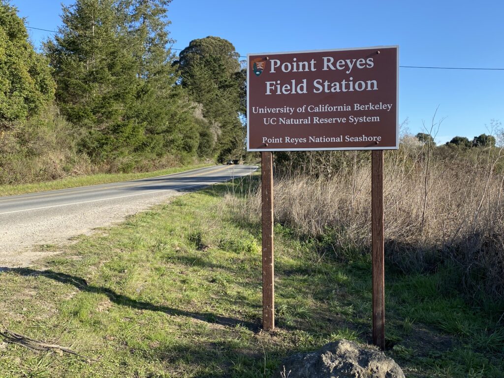
Point Reyes Field Station in Point Reyes National Seashore
Coordinates: 37.970120°, -122.730536°
Driving directions
From East and South Bay areas
Take I-580 W/I-80 E over the Richmond San Rafael bridge ($5 toll). Stay left (do not take Sir Francis Drake Blvd exit), merge onto US-101 North, and take the exit toward Central San Rafael (exit 452). Use the left two lanes to turn left onto 3rd Street. Continue straight for approximately 2 miles and turn right onto Sir Francis Drake Blvd. Continue on Sir Francis Drake Blvd for 16.9 miles until it dead ends at Shoreline Hwy (CA Hwy 1) and turn left. Continue for 5.9 miles and turn right into the driveway and drive west through the gate (there is a roadside National Park Service sign for “Pacific Coast Learning Center”). Follow the driveway west and turn left at the ‘T’ to the large white Hagmaier Ranch House at the south end of the driveway, up a small rise. Enter the house via the small porch at the back door.
From North Bay areas
Take Shoreline Hwy (CA Hwy 1) 5.9 miles south of the intersection of Sir Francis Drake Blvd in Olema, turn right into the driveway, and drive west through the gate (there is a roadside National Park Service sign for “Pacific Coast Learning Center”). Follow the driveway west and turn left at the ‘T’ to the large white Hagmaier Ranch House at the south end of the driveway, up a small rise. Enter the house via the small porch at the back door.
From Bolinas and environs
Drive on Highway 1 north for 3.2 miles from the intersection with Olema Bolinas Road and turn left into the driveway and drive west through the gate (there is a roadside National Park Service sign for “Pacific Coast Learning Center”). Follow the driveway west and turn left at the ‘T’ to the large white Hagmaier Ranch House at the south end of the driveway, up a small rise. Enter the house via the small porch at the back door.

