Data and Information

Data

Frequently requested data for Point Reyes National Seashore:

GIS Vegetation files

GIS Soils files


Weather information

Meteorological data and current conditions

The data generated by Point Reyes Field Station’s weather station is available by request. Please email Wendy Baxter with the dates you require.


Data portals for all National Park Service Units, including Point Reyes National Seashore, Golden Gate National Recreation Area

Database to search other available natural resource data

Additional helpful information such as GIS files, maps, trails, and other data

More helpful links to National Park Service resources


Marine and Intertidal information

University of California Berkeley’s Jepson Herbarium’s Common Seaweeds of Point Reyes National Seashore


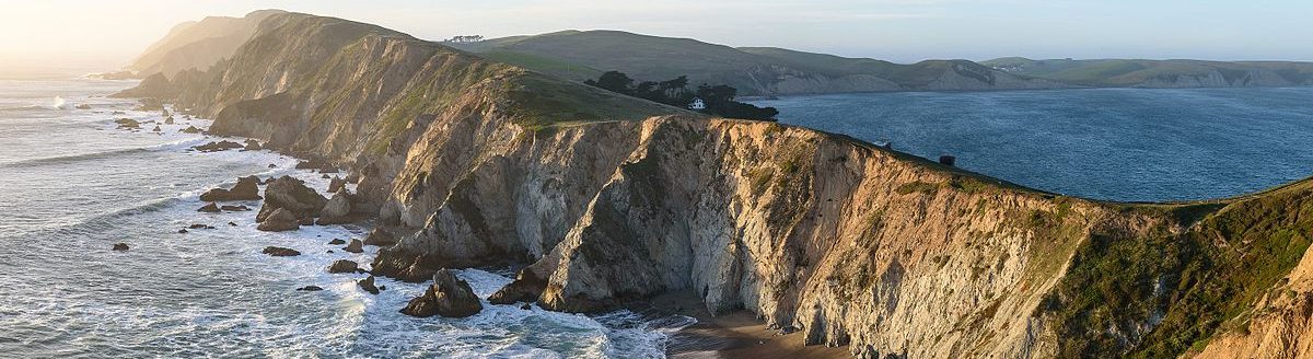
Geology and Geomorphology at Point Reyes Field Station

The geology of Point Reyes Peninsula plays a large role in its natural history. Point Reyes National Seashore published a Geologic Resources Inventory Report in October 2018.

This USGS chapter provides a good summary and is presented in the form of a self-guided field trip through the Point Reyes National Seashore.

Geology at Point Reyes National Seashore and Vicinity, California: A Guide to San Andreas Fault Zone and the Point Reyes Peninsula, Chapter 9 in The San Andreas Fault in the San Francisco Bay Area, California: A Geology Fieldtrip Guidebook to Selected Stops on Public Lands, 2005 (U.S. Geological Survey Open-File Report 2005-1127)

 
The field station sits directly on the San Andreas fault, with the Pacific Plate to the west (about where Olema Valley Trail is) and the North American Plate to the east (east of Highway 1). The landscape immediately surrounding the field station has visible geomorphologic features such as ridges and sag ponds, so it’s a popular stop for classes and groups (these features are visible along Highway 1 between the town of Olema and the field station). A 2008 study by Timothy Hall and Tina Niemi provides a terrific description of the historical and modern signs of landscape deformation from fault activity in Olema Valley, specifically Dogtown, just to the south of the field station. It has good photos and line drawings of disrupted fences and landscape features.
 
The California Division of Mines and Geology released a report in 1977 by Alan J. Galloway. This report describes the visible landscape features of the San Andreas Fault in Olema Valley, with specific mention of Hagmaier Ranch (the field station).
 
In October 1906 The Popular Science Monthly published an article by David Starr Jordan called “The Earthquake Rift of 1906.” The piece includes many photos of Marin County, Tomales (the town) and Tomales Bay, Point Reyes Station, and parts of Olema Valley.